Hurricane Maria


Yeah, not looking good for the outer banks again this morning. Looking better for a sharp ots turn after that, though. Good for us.

Models stayed the course today, which means most likely effects on CONUS would be some outer band outer banks action. NHC has issued a trop storm watch for the outer banks.
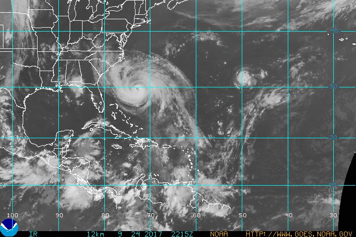
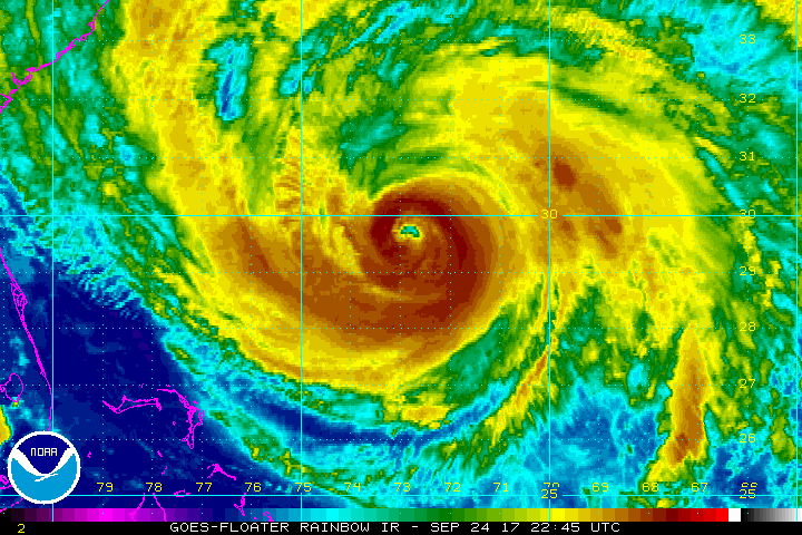
Meanwhile, some storm images.
Photo is (was) the NWS NOAA radar at San Juan, PR. NOAA radar towers are designed to survive cat 4 storms. The last time a unit was completely distroyed like this was Miami's, 25 years ago in Andrew. Note both the outer dome and the dish inside are gone.
Then a satellite image from this evening just to give an idea of the scale of the storm.


Rentals
Sponsored Business


Promote your business here - Businesses get highlighted throughout the site and you can add a deal.

Advertisement


40% of the ECMWF ensembles have at least a glancing blow of a US landfall now.